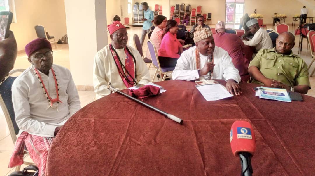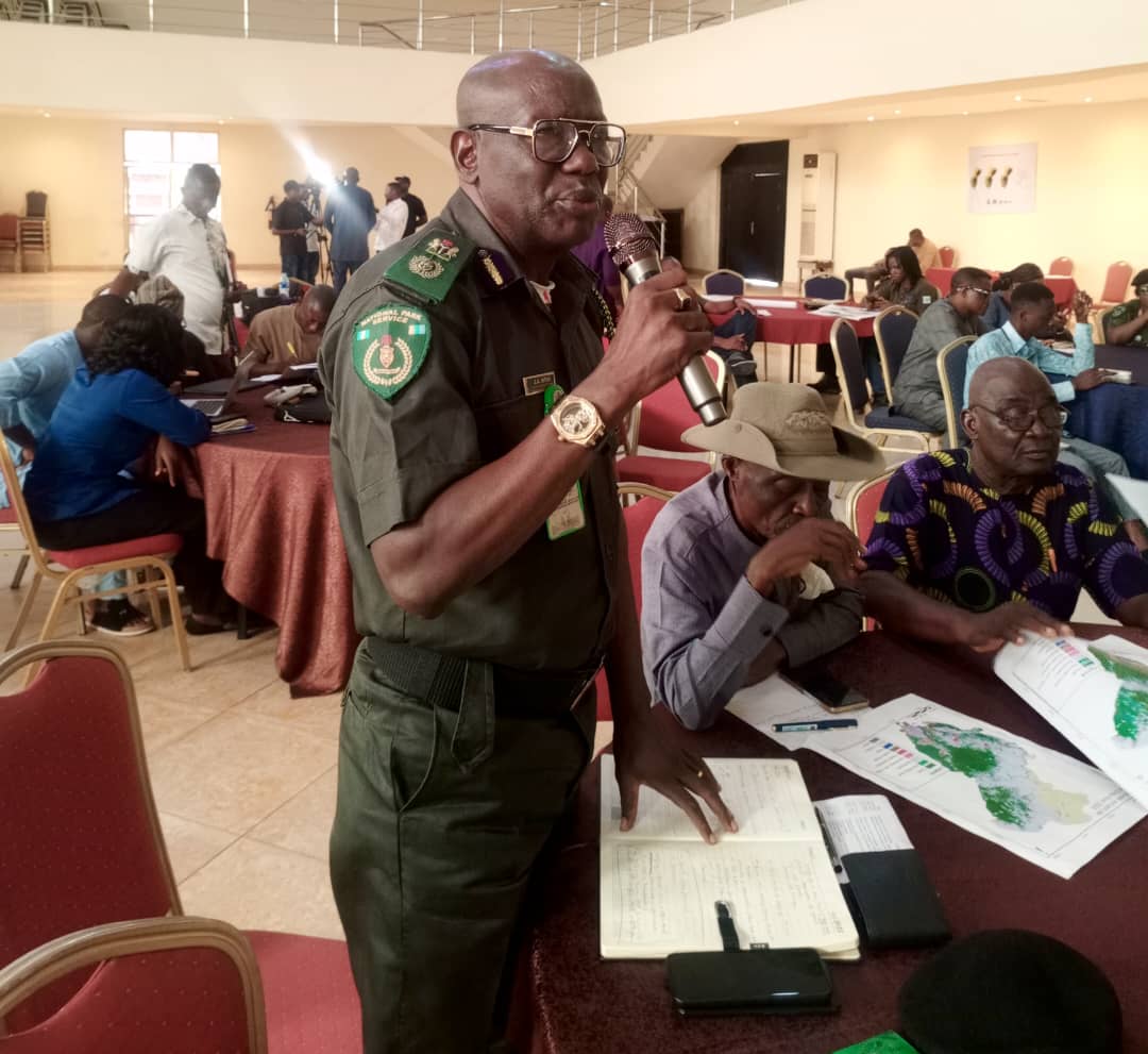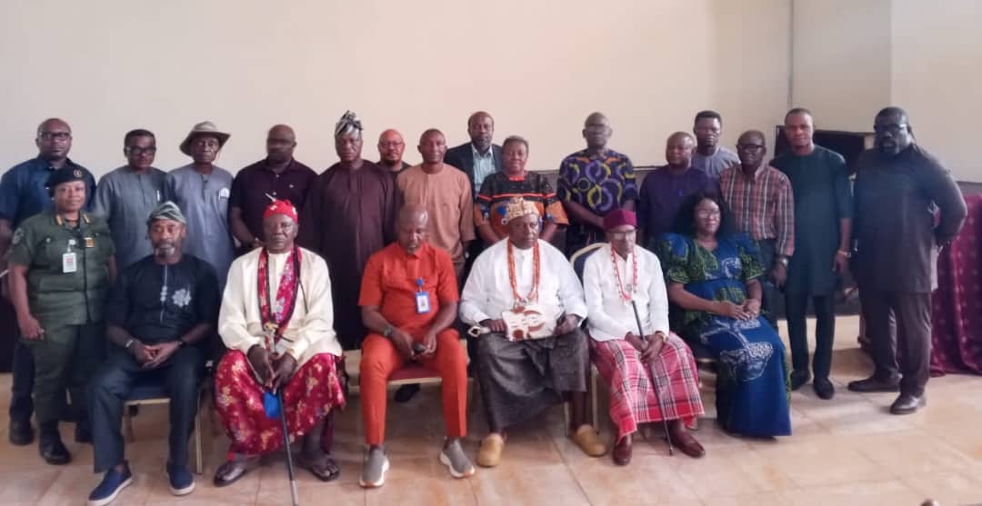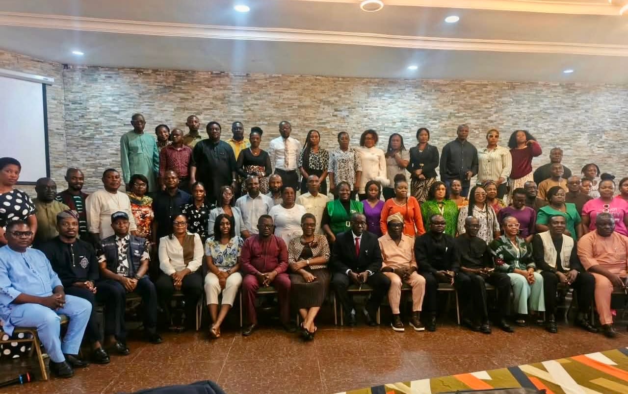

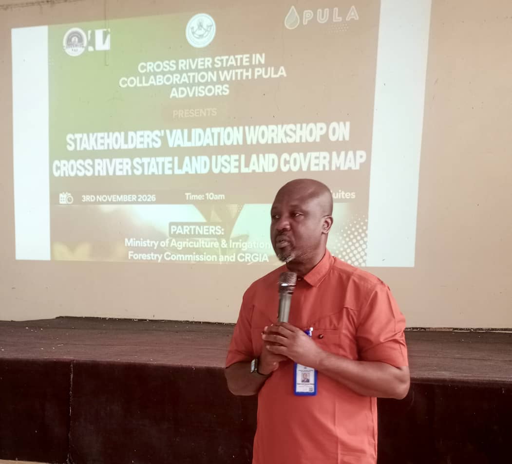
In a major step toward curbing deforestation, restoring degraded landscapes and securing international market access for local farmers, the Cross River State Forestry Commission has led stakeholders to validate a newly upgraded land use and land cover map for the State.
The updated map provides a critical spatial baseline to protect remaining forest reserves, monitor land-use dynamics and enforce sustainable forestry practices.
This map developed in partnership with the Cross River State Ministry of Agriculture and Irrigation Development, the Cross River Geographic Information Agency (CRGIA) and technical partner PULA Advisors, underpins the State’s seven-year strategic roadmap for sustainable cocoa, coffee and oil palm production.
Speaking at the event, Chairman and Chief Executive Officer of the Cross River State Forestry Commission, Dr. George O’ben-Etchi, emphasized that accurate spatial data is essential to balancing economic growth with rigorous forest conservation.
He noted that the Commission spearheaded the engagement with PULA Advisors following the Governor’s directive to establish a strategic committee for tree crops.
“This map gives us precise, real-time intelligence on the exact boundaries of our natural forests, agroforestry zones and farming communities,” Dr. O’ben-Etchi stated.
With this data, he continues, "the Forestry Commission can effectively monitor forest cover, curb illegal encroachment, and target our reforestation initiatives where they are needed most.”
He further highlighted ongoing efforts by the Commission to eliminate destructive slash-and-burn practices in favor of climate-smart agroforestry, supported by the recent recruitment of forest rangers and intensified tree-planting programs.
Supported by Geographic Information Systems, the project tracked landscape transformation across Cross River State from 2015 to 2025.
Also speaking, at the event, the Honorable Commissioner for Agriculture and Irrigation, Hon. Johnson Ebokpo, accentuated the State’s progress since launching its seven-year roadmap for cocoa, coffee and oil palm development in 2024.
He emphasized that the administration’s core focus is building sustainable economic systems that ease the cost of living and directly improve livelihoods by creating structured pathways to put money into citizens' pockets.
Central to this economic agenda is the newly developed forest and land-use map created in partnership with PULA Advisors, designed to establish a comprehensive traceability and flexibility system.
Hon. Ebokpo noted that the system will collect precise production data, enforce high product grades and quality standards, as well as ensure State produce complies with international regulations.
Hon. Ebokpo also established that by setting these regulatory safeguards, the State aims to position local farmers and agripreneurs to seamlessly secure international contracts and export their produce directly to global markets.
During his speech, the County Director of PULA Advisors, Dr. Michael Enahoro, revealed that geospatial analysis and ground-truthing of over 19,000 farm polygons confirmed that more than 200,000 hectares of forest had been degraded or lost over the past decade due to agricultural expansion and demographic pressures.
Addressing this challenge, Chairman of the Cross River State Multi-Stakeholder Committee for Cocoa, Coffee, and Oil Palm Strategic Plan Development, Professor Susan Ohen, stressed that the new map is key to meeting European Union Deforestation Regulation (EUDR) requirements.
Prof. Ohen added that by verifying that crops are cultivated outside protected forest areas, Cross River is positioning itself as a pioneer in sustainable and traceably sourced agricultural exports.
In a goodwill message, the Director-General of the Cross River Geographic Informatiin Agency, Mr. William Archibong, commended the collaborative framework, noting that updating outdated 2015 datasets provides the regulatory foundation needed to manage farm-to-warehouse traceability and land administration effectively.
Also speaking, Paramount Ruler of Etung, HRM Amb. Anthony Ntui Etta, called for intensified enforcement against illegal logging and urged farmers to rehabilitate existing cocoa plantations rather than clearing pristine forest reserves.
The successful validation of the upgraded land use and land cover map marks a turning point in Cross River State's environmental governance. By placing high-resolution geospatial intelligence directly into the hands of the Cross River State Forestry Commission, the State has established a clear line of defense for its vital forest ecosystems while creating a transparent path forward for sustainable agriculture.
As technical feedback and ground-truthing data are integrated into the final dataset for State Executive Council approval, the Forestry Commission stands ready to leverage this baseline to enforce forest boundaries, restore degraded habitats, and lead Nigeria’s transition toward EUDR-compliant and deforestation-free trade.
Through sustained inter-agency collaboration and community-led conservation, Cross River is proving that environmental protection and agricultural prosperity can thrive side by side.
By Christiana Ushang