In a bid to revolutionize the state's infrastructure development and urban planning, the Cross River Geographic Information Agency (CRGIA) has entered into a strategic partnership with the Ministry of Works to launch the Geospatial Information Service Project.
This innovative project aims to harness the power of geospatial technology to provide accurate and reliable data for informed decision-making in infrastructure development, urban planning, and environmental management.
According to sources within the CRGIA, the project will involve the deployment of cutting-edge geospatial tools and techniques, including Geographic Information Systems (GIS), Remote Sensing, and Global Positioning Systems (GPS).
The collaboration is expected to enhance the state's capacity to plan, design, and implement infrastructure projects, such as road construction, bridge building, and urban renewal initiatives.
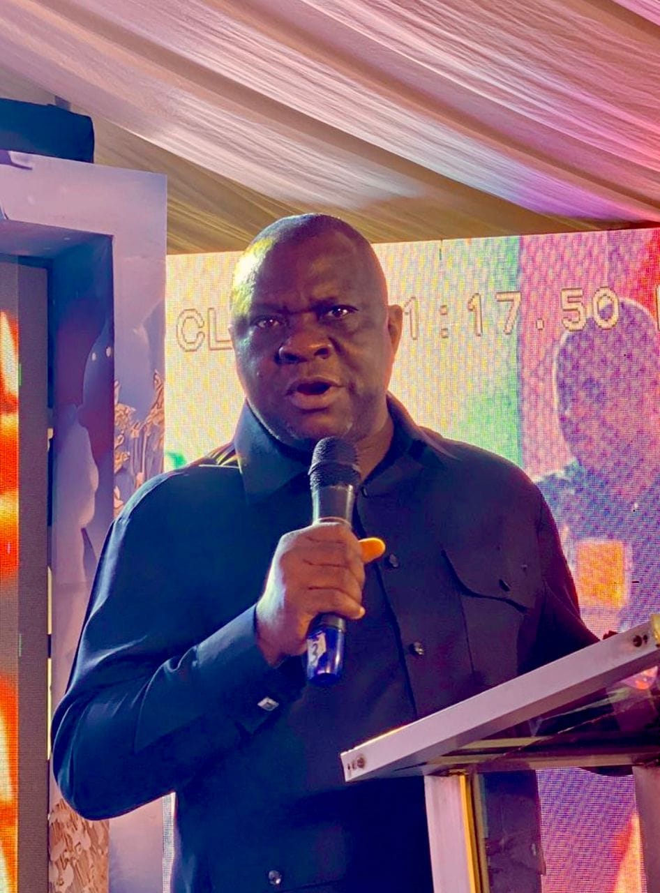
Speaking on the development, the Director-General of CRGIA, emphasized the significance of the project, stating that "the Geospatial Information Service Project will provide a robust framework for data-driven decision-making, enabling the state government to make informed choices about infrastructure development and urban planning."
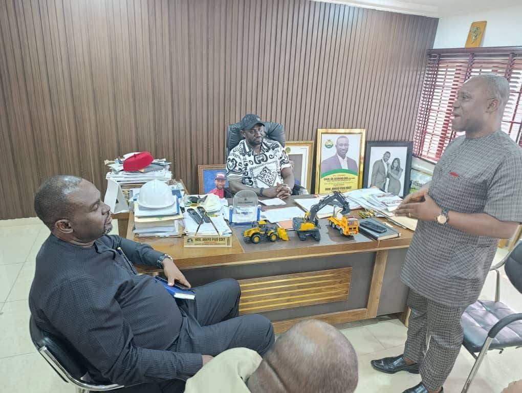
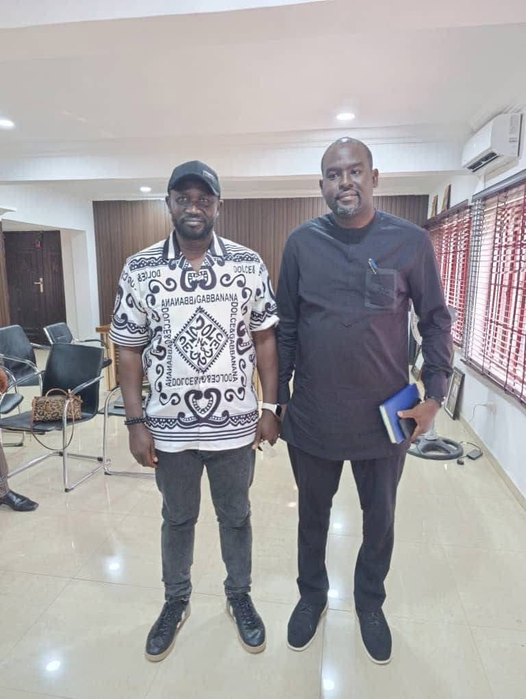
The ministry of Work has also expressed its commitment to the project, with the Honorable Commissioner for Works, Honorable Ankpo Pius Edet, noting that "the partnership with CRGIA will enable us to leverage geospatial technology to improve the efficiency and effectiveness of our infrastructure development projects."
The Geospatial Information Service Project is expected to have far-reaching benefits for Cross River State, including improved infrastructure development, enhanced urban planning, and better environmental management.
Cross River Live will continue to provide updates on this groundbreaking project as more information becomes available.
Marcel Edem, Correspondent, Cross River Live
