

The Cross River Geographic Information Agency (CRGIA) has strengthened its commitment to advancing digital governance through the deployment of innovative geospatial solutions that are driving the implementation of the Cross River State Agricultural Traceability System.
The initiative, which sees the Agency's premier product, the Cross River Geographic Information System (CRGIS), fully deployed, seeks to enhance investor confidence, improve food security, promote sustainable agricultural practices, and expand access to premium local and international markets. It is increasingly being positioned as a flagship model for technology-enabled agricultural governance in Nigeria.
As the state's official custodian of geospatial information, CRGIA is providing the spatial data infrastructure that supports the traceability system, ensuring that accurate geographic information remains at the centre of agricultural planning, monitoring, and decision-making.
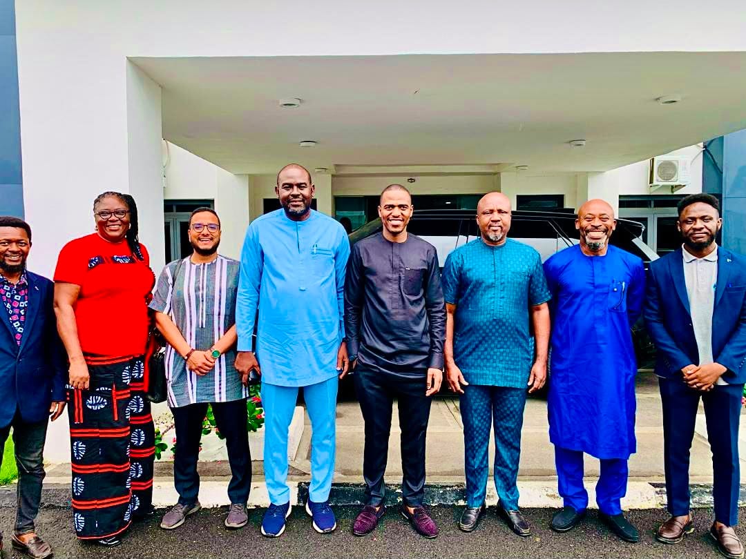
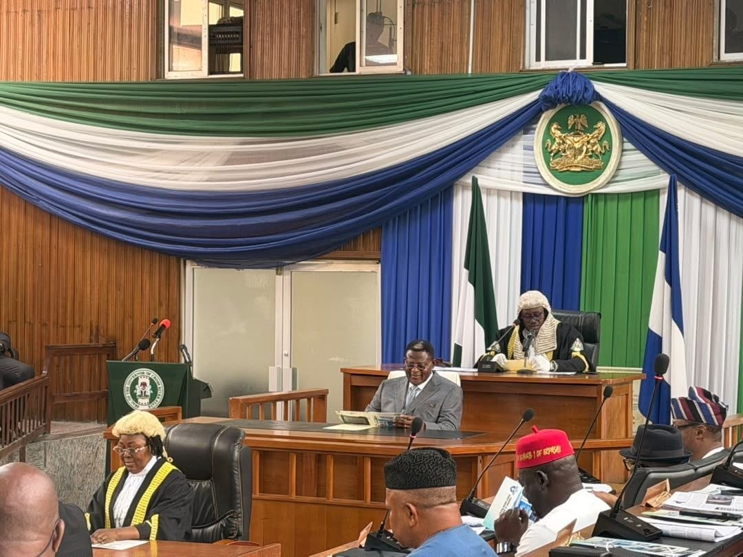
The Agency's role in the project was highlighted during a high-level strategic engagement involving the Deputy Governor of Cross River State, Rt. Hon. Peter Odey; Commissioner for Agriculture and Irrigation Development, Hon. Johnson Andiambey Ebokpo, KSM; Chairman and Chief Executive Officer of the Cross River State Forestry Commission, Rt. Hon. Deacon George O'Ben-Etchi, PhD, FCIA; Director General of CRGIA, Mr. William Archibong; Chairperson of the Multi-Stakeholder Committee on Cocoa, Coffee, and Oil Palm, Prof. Susan Ohen; as well as representatives of Pula Advisors, the implementing partners of the Agricultural Traceability Project.
The meeting reviewed the progress recorded under the initiative and examined a transition framework that will gradually hand over operational ownership of the Agricultural Traceability System to the Cross River State Government. Stakeholders noted that the transition is expected to strengthen institutional capacity and ensure the long-term sustainability of the programme.
At the centre of the initiative is CRGIA's deployment of advanced Geographic Information Systems (GIS), satellite imagery, remote sensing technology, digital mapping, and spatial analytics to create an integrated agricultural information ecosystem. The technology enables registered farms to be geo-referenced, production locations to be accurately mapped, and agricultural commodities to be traced throughout the value chain.
Officials say the Agricultural Traceability System provides government with a comprehensive platform that integrates digital farmer identities, geo-referenced farm boundaries, production records, commodity movement data, and other critical information needed for planning, environmental monitoring, investment promotion, and agricultural development.
The system is also expected to strengthen the state's ability to meet international compliance requirements, including the European Union Deforestation Regulation (EUDR), by providing verifiable spatial data that supports sustainable agricultural production and environmentally responsible land-use practices.
Speaking during the engagement, the Director General of CRGIA, Mr. William Archibong, emphasized the growing importance of geospatial solutions in modern governance.
"Geospatial solutions have become essential tools for building smart governments. Through accurate mapping, reliable spatial data, and advanced digital technologies, we are creating an ecosystem where government decisions are guided by evidence, resources are deployed more efficiently, and development is planned with greater precision," he said.
Archibong added that the Agricultural Traceability System demonstrates how technology can address governance challenges while strengthening transparency, accountability, and sustainable development.
Representatives of Pula Advisors commended the Cross River State Government for its commitment to institutionalizing digital traceability and acknowledged CRGIA's central role in providing the geospatial framework necessary to sustain the programme beyond the implementation phase.
The partnership involving the Ministry of Agriculture and Irrigation Development, the Cross River State Forestry Commission, CRGIA, and international technical partners continues to reflect a collective effort to leverage innovation and technology to accelerate economic growth and sustainable development across Cross River State.
For CRGIA, the Agricultural Traceability System extends beyond agriculture, showcasing the broader potential of geospatial solutions in driving transparent governance, enhancing climate resilience, promoting investment, and supporting evidence-based policymaking.
As Cross River State continues its digital transformation journey, CRGIA remains at the forefront of efforts to deliver the data, technology, and spatial solutions required to power smarter governance and sustainable development.