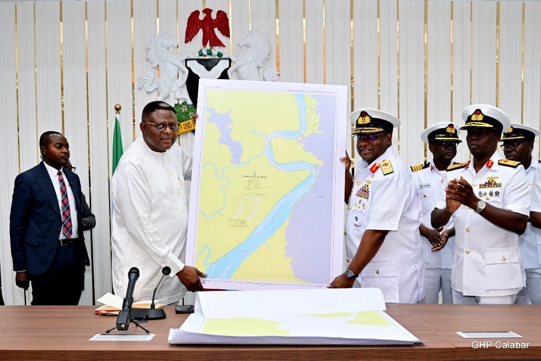
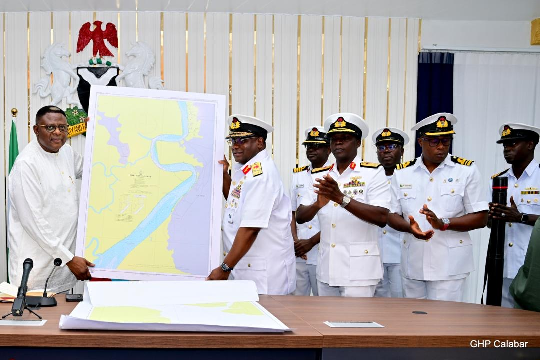
Cross River State has marked a significant leap toward becoming a maritime powerhouse with the official handover of the Hydrographic, Geotechnical, and Geophysical Report, along with a new Navigational Chart for the proposed Bakassi Deep Seaport.
Speaking at a formal presentation ceremony held in the State Executive Council Chamber, Governor Bassey Otu described the development as a “historic milestone” that not only affirms Nigeria’s maritime boundaries but also lays the groundwork for economic transformation across the Gulf of Guinea.
“This is truly a historic day—not just for Cross River, but for the entire nation,” Governor Otu said. “With this document, we are replacing navigational charts dating as far back as 1903. It finally settles longstanding debates about our littoral status and confirms Cross River as a coastal state.”
He noted that the updated chart conforms to S-100 international maritime standards, which opens the door for deepwater commerce and global shipping activities in the state.
“When you combine this with the ongoing coastal highway project, it points to the emergence of a completely new Cross River—economically vibrant, globally connected, and full of promise,” he added.
Governor Otu also acknowledged the legacy of former Governor Professor Ben Ayade, under whom the project gained early momentum.
“We inherited this dream, and with public funds already committed, it was our responsibility to carry it forward. Today is another major step toward realizing the Bakassi Deep Seaport,” he said.
With the technical and survey phase now complete, Governor Otu revealed that the next critical step is obtaining approval from the Federal Executive Council (FEC).
“Once we secure the FEC’s seal of approval, physical work will commence almost immediately,” he assured. “This is not just a Cross River project—it is a strategic gateway for Nigeria and West Africa.”
The presentation was led by Rear Admiral Ayo Olugbode, Hydrographer of the Federation and CEO of the National Hydrographic Agency of Nigeria. He was accompanied by senior naval officials, including the Flag Officer Commanding Eastern Naval Command, Rear Admiral S.A. Akinwande, and other top-ranking officers.
Rear Admiral Olugbode described the report as the outcome of an extensive multi-year effort, which began with a formal flag-off on December 21, 2024, followed by intensive data acquisition starting January 6, 2025. The survey covered hydrographic, geophysical, and geotechnical components—all essential for ensuring safety, accuracy, and compliance with global best practices.
“This is far more than a technical document—it is the foundation for the construction and operation of the Bakassi Deep Seaport,” he said. “It delivers vital data for engineering design, dredging, breakwater construction, and safe navigation.”
He further emphasized that the data would strengthen investor confidence, support sustainable ocean governance, and contribute to global initiatives such as Seabed 2030, which aims to map the entire ocean floor by the year 2030.
Rear Admiral Olugbode also commended the Cross River State Government for its cooperation.
“Your Excellency, the commitment and logistical support provided by your administration created the right environment for this complex operation to succeed,” he said.
The Bakassi Deep Seaport is expected to attract massive investments in shipping, logistics, trade, and tourism—generating employment, spurring regional development, and enhancing Nigeria’s standing in the global blue economy.


